Scalable Security And Premise Management
Public security meets innovation, facilitating a digital and intelligent transformation in management
Scalable Security and Premise Management
Public security meets innovation, facilitating a digital and intelligent transformation in management
Overview
Send drones 24/7 to regularly inspect areas with high rates of public safety incidents and key locations where people gather. Quickly gain an understanding of the situation on the ground through the command center, solving issues of high security pressure, low patrol efficiency, and difficulty in obtaining evidence. Ensure that personnel on-site and the command center information are in sync, reducing the cost of front-to-back communication. Facilitate the rapid collection of evidence for safety incidents and promote the digital and intelligent transformation of security management.
Pain Points
High Security Pressure
Important activities and large-scale events have a great impact, risk factors are often highly concealed, and security plans can struggle to cover every base.
Low Patrol Efficiency
Fixed cameras and manual patrols have problems such as unclear, incomplete, invisible, and low efficiency, and it is often near-impossible to remove all blind spots.
Unified Command Trouble
There are many public security emergencies and complex scenarios, and it is difficult for law enforcement officers to synchronize information, command and cooperate, and often are at risk.
Solution

Business Value
-
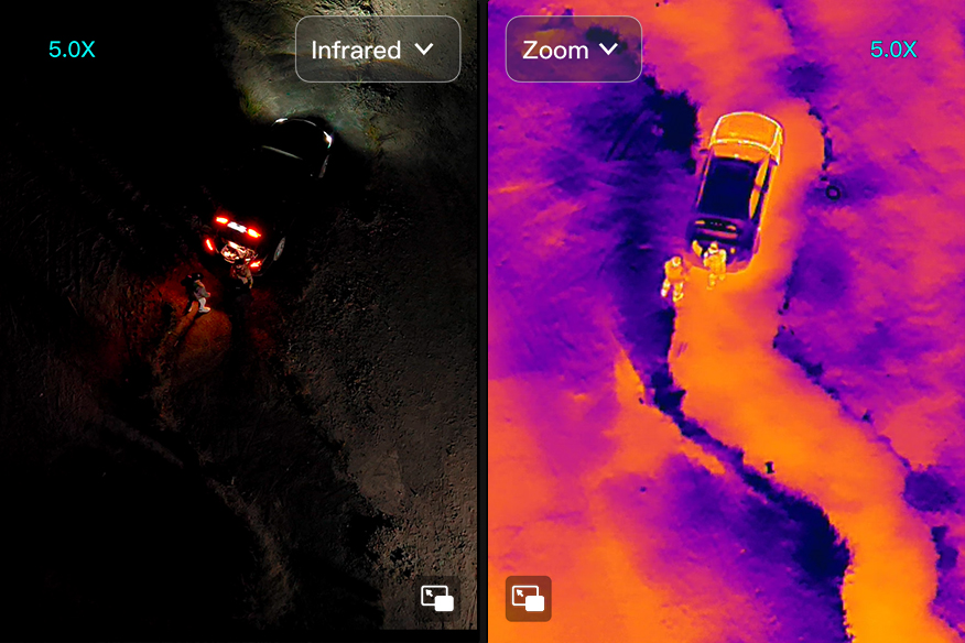
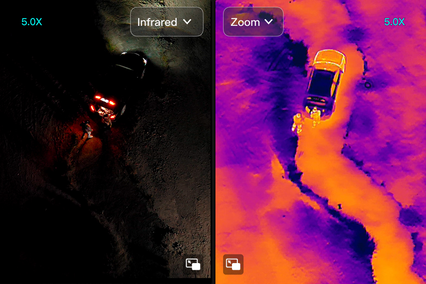
High-definition Aerial Images
12 million pixels wide-angle field of view can support large-scale monitoring of aircraft hovering in the air. 50 times visible light optical zoom, 1280×1024 thermal imaging, three-axis stabilized gimbal, flexible viewing angles, stable imaging, accurate grasp of any gathering and status of on-site personnel and the event generally. Use of spotlights for auxiliary lighting at night.
-
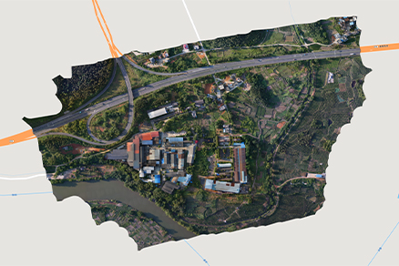
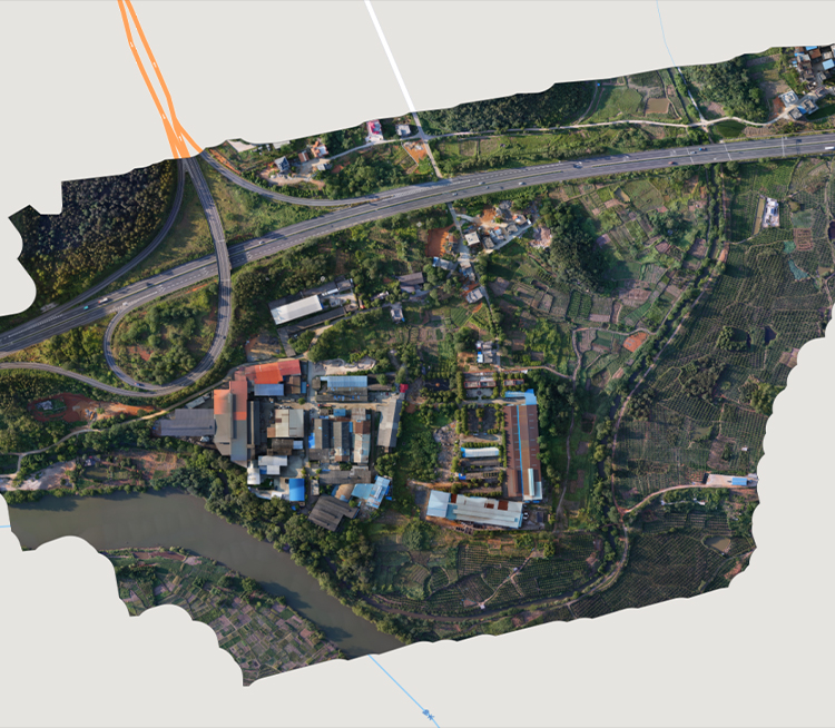
3D Panoramic Automatic Patrol
Record flight trajectories, use Autel Mapper to generate routes based on 3D real scene modeling, realize automatic, high-frequency, all-weather air patrol of urban environments including buildings, and make up for dead spots in monitoring. One drone can typically replace the manpower of three police officers and one police car, integrating both the air and ground into one unit, easily control a situation.
-
Unified Remote Control Command
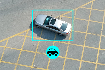
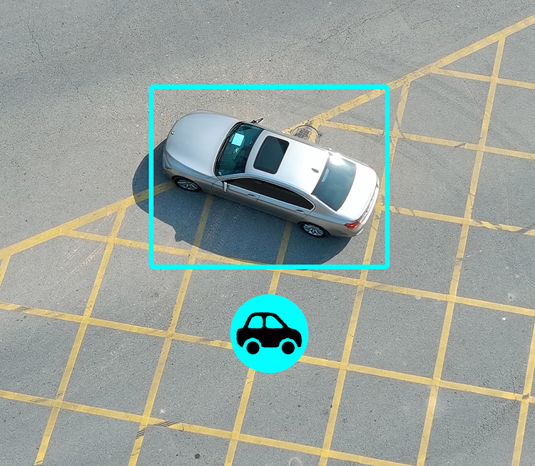
AI can lock and dynamically track the activities of people and vehicles, can mount speakers at high altitudes, make mounted spotlights to illuminate emergencies at night, real-time image transmission, Information share with on-the-ground forces, contactless communication, and guidance for evacuation of masses. Key areas can be monitored by hovering, integrated easily into police command and dispatch system, on-site/rear video intercom, text dialogue, and ultimately unified coordination.
Recommended Autel Products
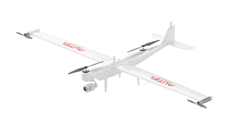
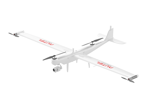
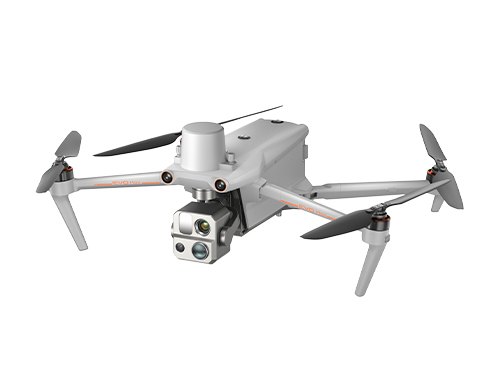
Dragonfish Series
158 Mins Flight Time | 3 Mins Quick Assembly
4K 50x Optical Zoom | 18.6 Miles Transmission Range
Learn More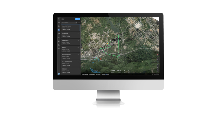
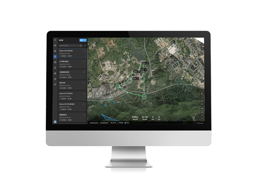
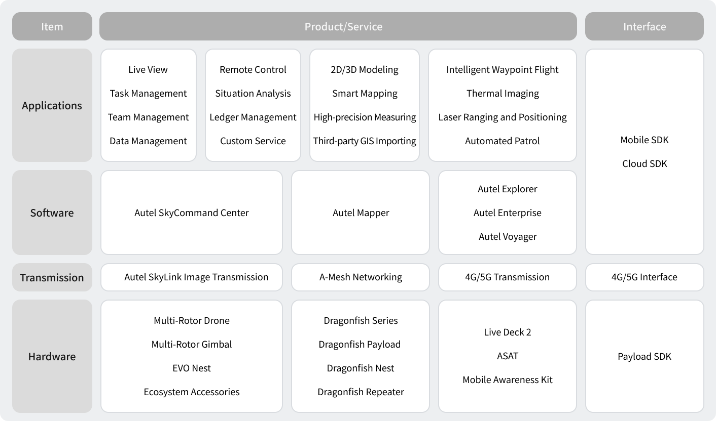
Autel SkyCommand Center
Project And Mission Management | Offline Mesh Network
Multi-Channel Live Streaming | Remote Fleet Control | Data Storage And Analytic
Learn More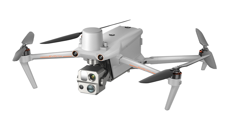
EVO Max 4T
720° Obstacle Avoidance | Non-GPS Return-to-Home
42 Mins Flight Time | Automatic Obstacle Rerouting
Learn More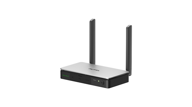
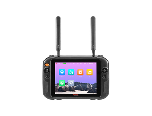
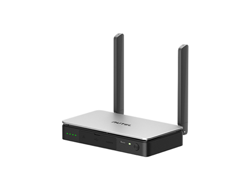
Live Deck 2
1080P/60FPS Video Stream | Three Auto-Switch Bands
7.5 Miles Transmission Range | 5-Hour Battery Life
Learn More
Autel SkyCommand Center
Project And Mission Management | Offline Mesh Network
Multi-Channel Live Streaming | Remote Fleet Control | Data Storage And Analytic
Learn More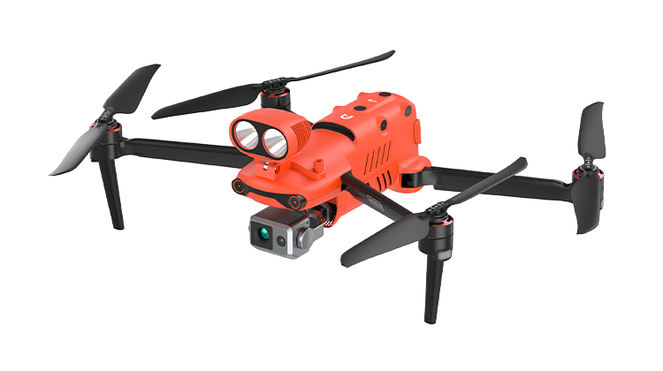
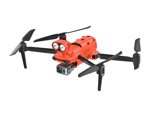
EVO II Dual 640T Enterprise V3
9.3 Miles/15km FCC | RTK Module Compatible
ADS-B Signal Receiver | 42 Mins Flight Time
Learn More
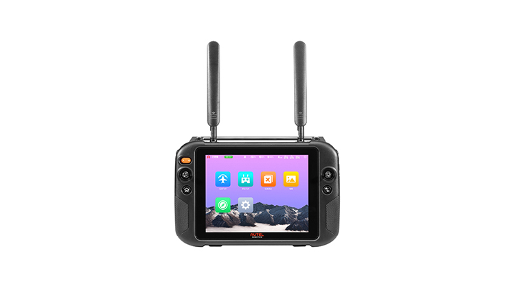
Live Deck 2
1080P/60FPS Video Stream | Three Auto-Switch Bands
7.5 Miles Transmission Range |5-Hour Battery Life
Learn More
Autel SkyCommand Center
Project And Mission Management | Offline Mesh Network
Multi-Channel Live Streaming | Remote Fleet Control | Data Storage And Analytic
Learn More


