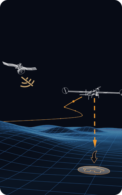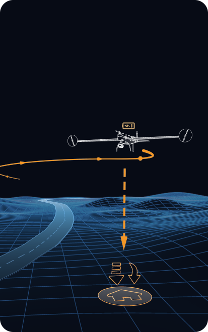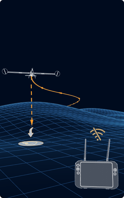
Dragonfish Series
Command The Future


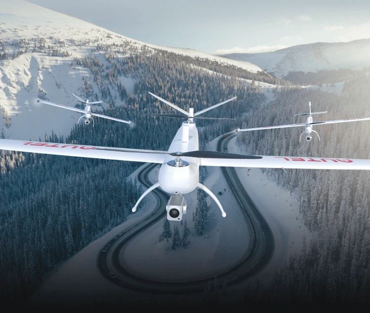
 Dragonfish LiteDragonfish ProDragonfish Standard
Smart. Simple. Efficient.
The Dragonfish's unique tilt-rotor design simplifies operation while maximizing performance and efficiency. With no complicated moving parts, the Dragonfish is modular, waterproof, smart, and reliable. The Dragonfish is mission ready right out of the box and includes powerful AI tracking capabilities and a multitude of modular payload options. An endurance of up to 158 minutes (including payload) further augments the Dragonfish's robust mission capabilities and pushes it significantly ahead of the competition.
-
158 minutes
Longest flight time with load
-
3 minutes
Quick assembly
-
4K 50x
Highest optical zoom
-
108km/h
Max speed
-
18.6 miles
Transmission range
-
5s
System boot and self check
Endurance With Payload
The Dragonfish series includes three models: the Dragonfish Lite, Dragonfish Standard, and Dragonfish Pro. With a flight time of 81 minutes, 126 minutes, and 158 minutes respectively while carrying a payload, each model can greatly improve work efficiency.
_r__300-237_c__3383b4_.png?x-oss-process=style/webp)

 Dragonfish ProDragonfish
StandardDragonfish Lite158 min126 min81 min
Dragonfish ProDragonfish
StandardDragonfish Lite158 min126 min81 minSafety and Redundancy
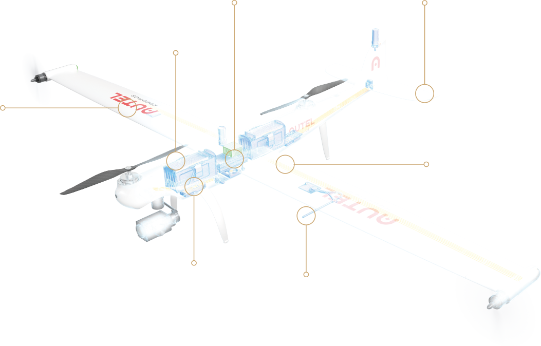 Built Tough: The Aircraft's composite outer shell and carbon
fiber core gives the aircraft and wind resistance rating of level 6 and IP43
weather resistance to handle complex environments with
ease.Backup
Modules: The Dragonfish battery, barometer, positioning system, compass,
and IMU all have backup modules to ensure flight safety.Attentive AI: Vigilant AI continuously self-checks the
system to prevent faults before they occur.Autel
Robotics' superior flight control platform guarantees stability and reliability in every
flight. High Quality Sensors:
Integrated airspeed velocity sensor monitor the environment in real time, even while
buffeted by snow or ice. Automatic
Transition: The Dragonfish will automatically transition to multi-rotor
mode if adverse conditions cause fixed winged flight to stall or become unsustainable.
The Dragonfish can automatically choose which mode to fly for the best performance.
Internal Communication: Dual-redundant
CAN bus communication protects the aircraft from electromagnetic interference and
enables the rudder surface and motor status to be monitored in real time.
Built Tough: The Aircraft's composite outer shell and carbon
fiber core gives the aircraft and wind resistance rating of level 6 and IP43
weather resistance to handle complex environments with
ease.Backup
Modules: The Dragonfish battery, barometer, positioning system, compass,
and IMU all have backup modules to ensure flight safety.Attentive AI: Vigilant AI continuously self-checks the
system to prevent faults before they occur.Autel
Robotics' superior flight control platform guarantees stability and reliability in every
flight. High Quality Sensors:
Integrated airspeed velocity sensor monitor the environment in real time, even while
buffeted by snow or ice. Automatic
Transition: The Dragonfish will automatically transition to multi-rotor
mode if adverse conditions cause fixed winged flight to stall or become unsustainable.
The Dragonfish can automatically choose which mode to fly for the best performance.
Internal Communication: Dual-redundant
CAN bus communication protects the aircraft from electromagnetic interference and
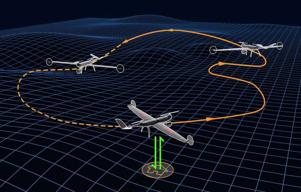
enables the rudder surface and motor status to be monitored in real time.DRAGONFISH FLIGHT LOGIC
-

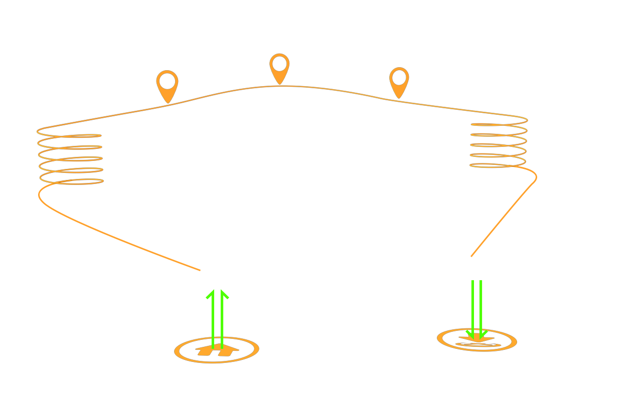
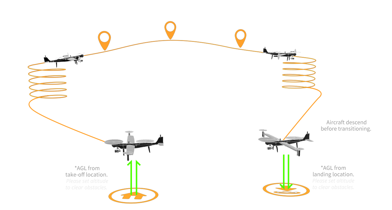
Take off Transition Altitude
*AGL from take-off location.
Please set altitude to clear obstacles.
-
Transition Distance Min - 984 ft
-
CIRCLE UP POINT

-
WAYPOINTS
-
CIRCLE DOWN POINT

-
Landing Transition Distance Min - 984 ft
Aircraft descend before transitioning.
-

Landing Transition Altitude
*AGL from landing location.
Please set altitude to clear obstacles.
Intelligence And Autonomy: Simplify mission tasks with the Dragonfish's wide array of automated functions
Using Autel's advanced flight control technology and intelligent AI, the Dragonfish can tackle even the most complex operations.
- One-Click Takeoff/Landing
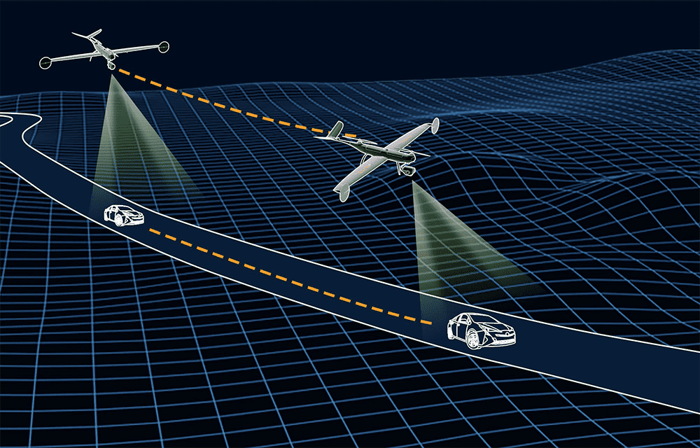
- AI High-Speed Tracking
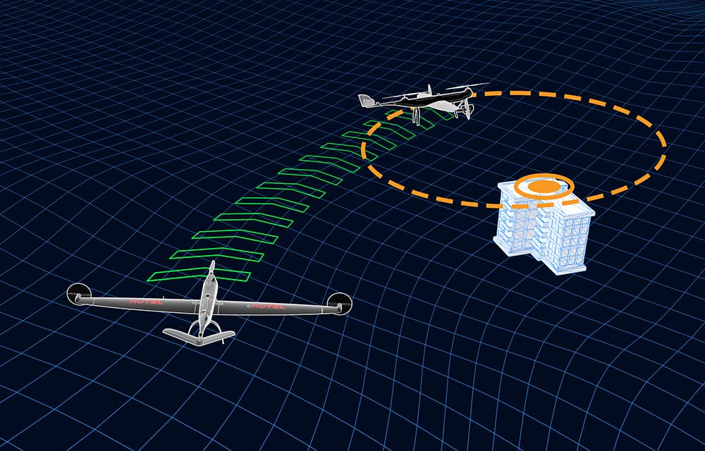
- Point of Interest
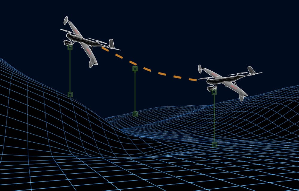
- Terrain Follow
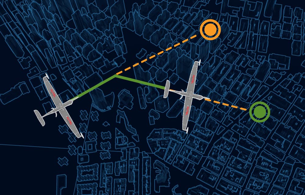
- Quick Mission
ADS-B Receiver
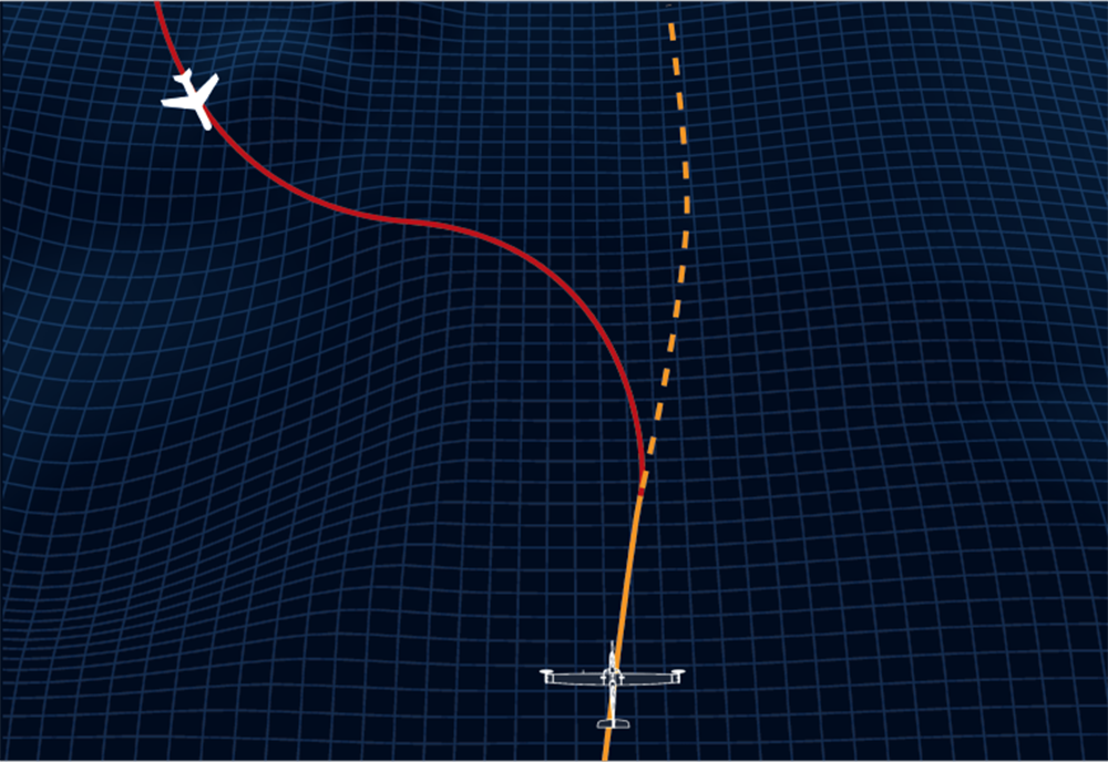
Dragonfish is also able to notify the operators about incoming manned aircrafts' position, altitude and speed through an integrated ADS-B receiver, dramatically improving flight safety.

RTK Accuracy
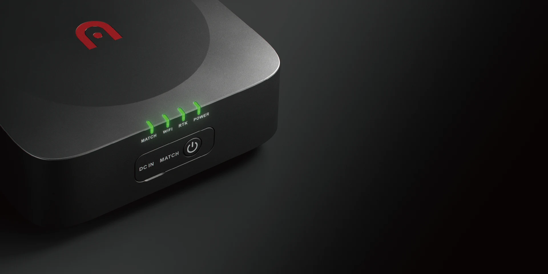
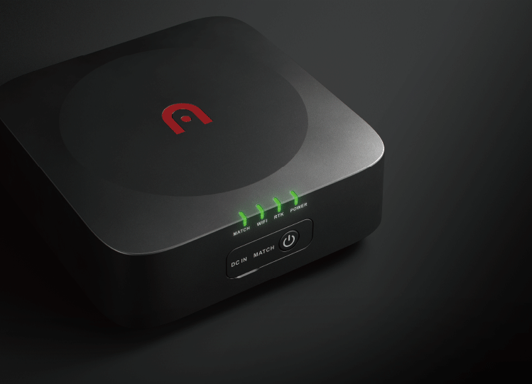
Map with confidence with the Dragonfish’s two RTK (Real-Time Kinetic) modules, which enable the aircraft to provide centimeter-accurate location data when paired with a GNSS base station. The dual units back up each other’s data for additional peace of mind, while also improving image metadata quality and increasing flight precision and safety.
Interchangeable Payload System
*Please refer to the specifications page for specific payloads adaptability.
Tackle any operation with a variety of payload options that can be toolessly swapped to suit mission needs. Dragonfish payloads are designed to be interchangeable between aircraft classes to maximize the value and enhance the mission capability of the system.
| Payloads Adaptability | Z2 | T3 | T3H | L20T | L50T |
| Dragonfish Lite | √ | √ | √ | × | × |
| Dragonfish Standard | √ | √ | √ | √ | × |
| Dragonfish Pro | √ | √ | √ | √ | √ |
Max. Flight Time Graph for Dragonfish Series with Payload

The Dragonfish Pro with L50T payload can achieve 50x optical zoom and 240x hybrid zoom. Details are clearly visible even when observing targets 2 km away. Operators do not need to go to the site, which not only improves work efficiency, but also ensures the safety of personnel and flight equipment. Efficiently empower energy inspection, emergency rescue, public security and other industry applications.
Practical Applications
The Dragonfish's powerful platform and modular payload options make it an asset in a wide variety of professions.
-
Public Safety
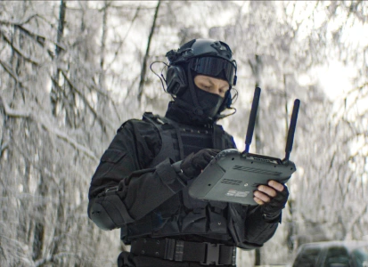
The Dragonfish is an all-in-one solution that allows law enforcement to conduct investigations, track suspects, and perform evidence collection.
-

Forest Fire Prevention
Air patrol to ensure the first time forest fire identification, fire transmission, and tracking of forest fire fighting dynamics.
-

Powerline Inspection
Realize the autonomy of inspections, improve the efficiency and refinement of inspections, and help the digital transformation of the power grid.
-

Traffic Law Enforcement
The aerial vision understands the overall situation of the road, manages and controls the traffic in time, and ensures the smooth flow of traffic.
-

Coastal Patrol and Security
Efficiently realize fixed-point, regular and fixed-route flight patrols to combat criminal activities such as smuggling.
-

Agriculture Monitoring
Collect multi-spectral images of farmland, analyze abnormal areas, and assist agricultural practitioners in field management.
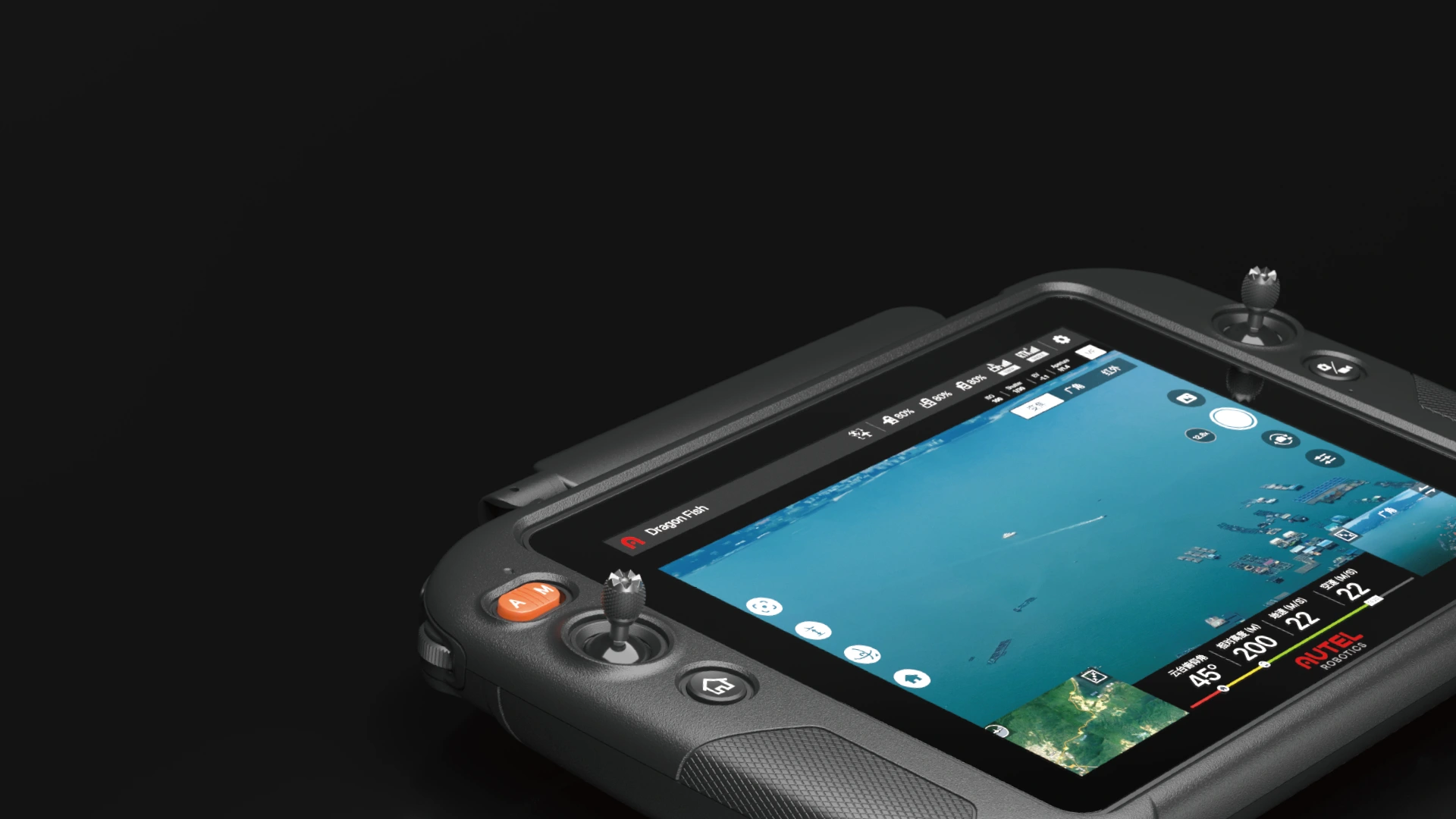
9.7" 1000nit EBA Ground Control Station
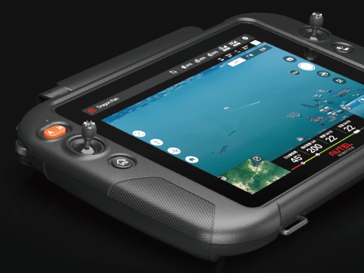
With an ultra-bright touchscreen of 1,000 nits, the EBA Ground Control Station is twice as bright as the average smartphone, making the 9.7-inch screen easy to see under direct sunlight.
-
Samsung EXYNOS
Eight-core processor
-
9.7inches
TFT-LCDcapacitive touchscreen
-
18.6 miles
Image transmission distance
-
2048x1536
Ultra HD resolution
-
4.5 hours
Battery life
-
256G
Internal storage
*18.6 miles is the image transmission distance when the base station is used. If there is no base station, the image transmission distance is 6.2 miles.
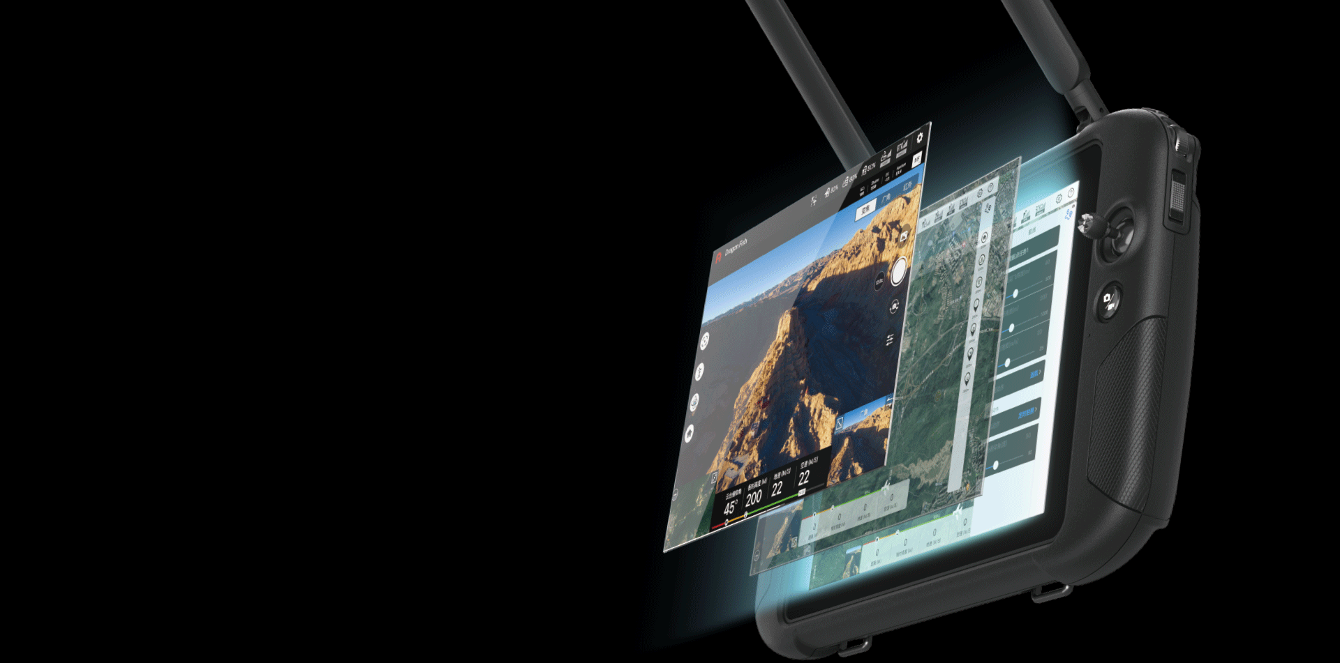
One Device. Any Mission.
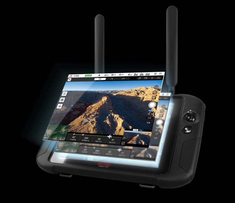
EBA Voyager
Incredibly powerful yet simple to use, EBA Voyager is the one-stop solution for every mission. Designed specifically for the Dragonfish, the software provides advanced mission planning, intelligent tracking, flight history tracking, and other autonomous features.
• Mission Planning: Waypoint missions, polygon missions, and rectangular missions can be planned offsite prior to mission and started with a single click to begin autonomous flight. The pilot can regain control at any time during the mission for emergency maneuvers or custom flight path planning.
• Tap to Fly: Select a target on the camera and the Dragonfish will automatically fly to the selected location and orbit the subject.
• Mission Management: Monitor past missions and assign flights.
• Quick Mission: Set points of interest on the flight map during any part of the mission and the Dragonfish automatically will deviate from its original path plan to pursue the pilot's needs.
Compact And Portable
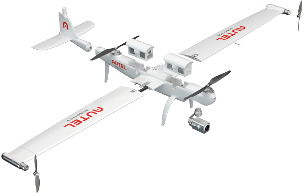
With its innovative quick-release design and a speedy self-check,
the Dragonfish can be in the air and mission ready within 5 minutes.
-

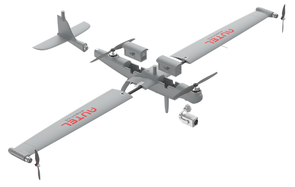
The Dragonfish can be easily disassembled by a single person and fits into the trunk of any average-sized car. The entire system can be assembled without tools and ready to fly in less than 5 minutes.
-

The whole system self checks in 5 seconds and is ready to fly in 5 minutes.
-

Quick-release blade design makes assembly simple and convenient.
Safety Mechanisms
Why choose EBA Dragonfish
-

Less training needed
No need for launchers, slingshots, throwing, parachutes.
-

Easy to fly
Take off anywhere, anytime.
-

Easy to transport
Dragonfish fits in the back of any car/SUV.
-

Maintenance-free
Unlike helicopters or other aerial solutions, there’s no need for costly maintenance activities, like oil changes.
-

Low noise
The electric motor is much quieter than a fuel engine, making it perfect for high-altitude reconnaissance.
-

Tilt rotor design
Switch from quadcopter mode to fixed-wing flight at the touch of a button.
Dragonfish Series Technical parameters
-
-

Dragonfish Lite
-

Dragonfish Standard
-
Dragonfish Pro
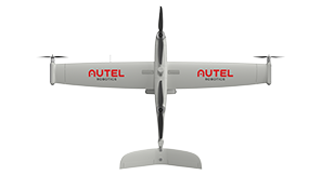
| Dimensions (L*W*H) | 965*1600*350 mm | 1290*2300*460 mm | 1650*3040*460 mm |
| Weight(including two batteries, without gimbal) | 4.5 kg | 7.5 kg | 14.5 kg |
| Single Battery Weight | 0.75 kg | 1.3 kg | 3.6 kg |
| Supported Payloads | Z2, T3, T3H, M1 | Z2, T3, T3H, L20T, M1 | Z2, T3, T3H, L20T, M1, L50T |
| Max Takeoff Weight | 5.5 kg | 9 kg | 17 kg |
| Operating Frequency | Video Transmission 902-928 MHz (Only for FCC/ISED); 2.4000-2.4835 GHz; 5.150-5.250 GHz (Only for FCC/ISED); 5.725-5.850 GHz Data Transmission 5.729-5.771 GHz |
Video Transmission 902-928 MHz (Only for FCC/ISED); 2.4000-2.4835 GHz; 5.150-5.250 GHz (Only for FCC/ISED); 5.725-5.850 GHz Data Transmission 5.729-5.771 GHz |
Video Transmission 902-928 MHz (Only for FCC/ISED); 2.4000-2.4835 GHz; 5.150-5.250 GHz (Only for FCC/ISED); 5.725-5.850 GHz Data Transmission 5.729-5.771 GHz |
| EIRP (Equivalent radiated power) | 900MHz FCC/ISED:< 30 dBm; 2.4 GHz FCC/ISED/RCM:< 30 dBm CE:< 20 dBm; 5.2 GHz FCC/ISED:< 25 dBm 5.8 GHz FCC/ISED/RCM:< 26 dBm CE: < 14 dBm |
900MHz FCC/ISED:< 30 dBm; 2.4 GHz FCC/ISED/RCM:< 30 dBm CE:< 20 dBm; 5.2 GHz FCC/ISED:< 25 dBm 5.8 GHz FCC/ISED/RCM:< 26 dBm CE: < 14 dBm |
900MHz FCC/ISED:< 30 dBm; 2.4 GHz FCC/ISED/RCM:< 30 dBm CE:< 20 dBm; 5.2 GHz FCC/ISED:< 25 dBm 5.8 GHz FCC/ISED/RCM:< 26 dBm CE: < 14 dBm |
| Hovering Accuracy (P-mode with GPS) | Vertical: ±0.1 m(Vision System enabled) ±0.5 m(GPS enabled) ±0.1 m(RTK enabled) Horizontal: ±0.3 m(Vision System enabled) ±1.5 m(GPS enabled) ±0.1 m(RTK enabled) |
Vertical: ±0.1 m(Vision System enabled) ±0.5 m(GPS enabled) ±0.1 m(RTK enabled) Horizontal: ±0.3 m(Vision System enabled) ±1.5 m(GPS enabled) ±0.1 m(RTK enabled) |
Vertical: ±0.1 m(Vision System enabled) ±0.5 m(GPS enabled) ±0.1 m(RTK enabled) Horizontal: ±0.3 m(Vision System enabled) ±1.5 m(GPS enabled) ±0.1 m(RTK enabled) |
| RTK Positioning Accuracy | When RTK enabled and fixed: Multi-rotor: 1 cm+1 ppm(Horizontal) 1.5 cm + 1 ppm(Vertical) Fixed Wing: 3 cm+1 ppm(Horizontal) 3 cm + 1 ppm(Vertical) |
When RTK enabled and fixed: Multi-rotor: 1 cm+1 ppm(Horizontal) 1.5 cm + 1 ppm(Vertical) Fixed Wing: 3 cm+1 ppm(Horizontal) 3 cm + 1 ppm(Vertical) |
When RTK enabled and fixed: Multi-rotor: 1 cm+1 ppm(Horizontal) 1.5 cm + 1 ppm(Vertical) Fixed Wing: 3 cm+1 ppm(Horizontal) 3 cm + 1 ppm(Vertical) |
| Max Angular Velocity | Pitch:180°/s Yaw:60°/s |
Pitch:180°/s Yaw:60°/s |
Pitch:180°/s Yaw:60°/s |
| Max Pitch Angle | 20° | 20° | 20° |
| Max Roll Angle | 35° | 35° | 35° |
| Max Ascent Speed | Vertical Flight Mode:4 m/s Fixed Wing Mode:5 m/s |
Vertical Flight Mode:4 m/s Fixed Wing Mode:5 m/s |
Vertical Flight Mode:4 m/s Fixed Wing Mode:5 m/s |
| Max Descent Speed (vertical) | Vertical Flight Mode:3 m/s Fixed Wing Mode:5 m/s |
Vertical Flight Mode:3 m/s Fixed Wing Mode:5 m/s |
Vertical Flight Mode:3 m/s Fixed Wing Mode:5 m/s |
| Max Flight Speed | 30 m/s | 30 m/s | 30 m/s |
| Flight Speed | 0m/s~17m/s(Multi-rotor) 17m/s~30m/s(Fixed Wing) |
0m/s~17m/s(Multi-rotor) 17m/s~30m/s(Fixed Wing) |
0m/s~17m/s(Multi-rotor) 17m/s~30m/s(Fixed Wing) |
| Service Ceiling Above Sea Level | 4000 m | 6000 m | 6000 m |
| Max Wind Resistance | Fixed Wing Mode:15 m/s Vertical Flight Mode:12 m/s |
Fixed Wing Mode:15 m/s Vertical Flight Mode:12 m/s |
Fixed Wing Mode:15 m/s Vertical Flight Mode:12 m/s |
| Max Flight Time | 81 min | 126 min | 158 min |
| Max Payload | 1.0 kg | 1.5 kg | 2.5 kg |
| Supported Gimbal Configurations | Fast Disassembly | Fast Disassembly | Fast Disassembly |
| Ingress Protection Rating | IP43 | IP43 | IP43 |
| GNSS | GPS+GLONASS+BeiDou+Galileo | GPS+GLONASS+BeiDou+Galileo | GPS+GLONASS+BeiDou+Galileo |
| Operating Temperature | -20°C ~ 50°C | -20°C ~50°C | -20°C ~50°C |
| Single Battery Energy | 174 Wh | 277.2 Wh | 822.36 Wh |
| Single Battery Charging Time | 120 min | 120 min | 120 min |
| Recommended Battery Storage Temperature | 22°C ~28°C | 22°C ~28°C | 22°C ~28°C |
| Battery Charging Temperature | 15℃ ~40℃ | 15℃ ~40℃ | 15℃ ~40℃ |
| Battery Operating Temperature | -20℃ ~40℃ | -20℃ ~40℃ | -20℃ ~40℃ |


.png)


