Anti-Smuggling, Border Watch
Eyes in the sky 24/7 for highly efficient monitoring of borders
Anti-Smuggling, Border Watch
Eyes in the sky 24/7 for highly efficient monitoring of borders
Overview
The United States stands as one of the largest countries in terms of coastal and border with defense demands: over 95,000 coastal miles alone. Whether coastal or on the ground at borders, ongoing prevention and control of smuggling plays an important part of governance, national security and long-term development. However, as long-term and high-risk anti-smuggling activities continue on, the process of finding targets, collecting evidence and logging can have challenges. In order to effectively combat smuggling, a combination of UAVs and tracking antennas can be use, allowing for highly mobile, efficient law enforcement. UAVs can be paired with automated nests for 24-hour autonomous inspections on routes with high smuggling rates. An extended benefit of this solution is the ability to utilize a full command center, allowing law enforcement personnel to analyze, view, and synchronize all aspects of ongoing operations efficiently. Ultimately, applying these solutions significantly increases the efficiency of patrolling, while also offering increased safety for personnel, making it possible to capture evidence via eyes in the sky.
Pain Points
Lengthy Patrol Routes
When borders get long, are obscured by jungle or even have issues with wilderness, border watch becomes increasingly complex. Blind spots of fixed observation are also significant, particularly at night. In some cases, patrol operations can take several days, with patchy monitoring and coverage.
High Risk To Law Enforcement Personnel
Whether risk from operating and cracking down on suspects or from the dangerous terrain borders often sit upon, officers who spend time on patrol are exposed to dangerous situations regularly.
Difficulties In Obtaining Evidence
Smuggling activities are mobile and covert. Obtaining evidence real-time during a developing situation with enough time to act is difficult for border personnel.
Solution

Business Value
-
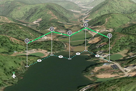
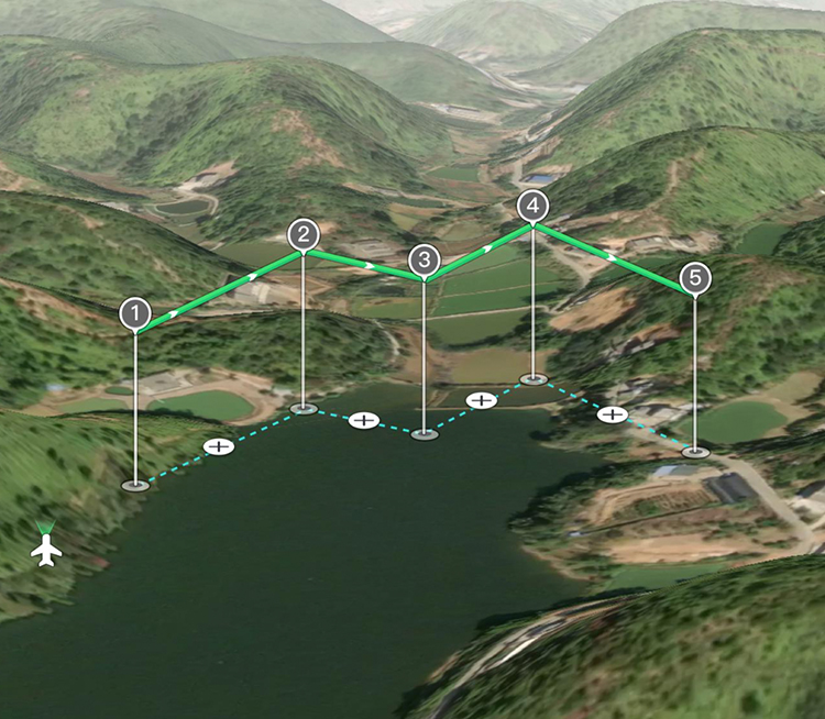
Daily Autonomous Patrols, Stealth, Highly Flexible
Taking out the skies, drones can provide quiet and large-scale cruising and monitoring of target areas. Visible light/night vision high-definition images can be shared with ease.Full 3D route planning and autonomous flying, intelligent identification and comparison of changes in border routes over time.
-
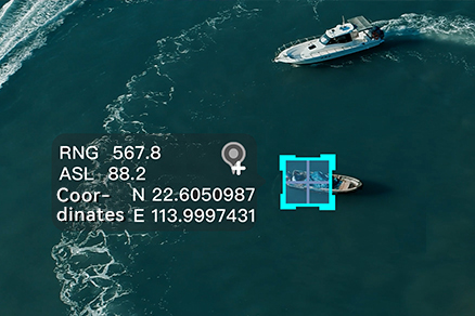
Non-contact Investigations, Analysis
Accurate positioning, automatic circling of targets, 1.2km laser rangefinder to guide investigation, infrared/night vision tracking, heavily reducing risk of law enforcement contact.
-
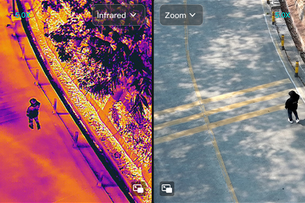
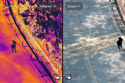
HD Forensics, Remote Command Ready
50x optical zoom and 1280×1024 infrared thermal imaging high-definition images, effectively identifying camouflage, penetrating occlusion, and quickly obtaining evidence.
Recommended Autel Products
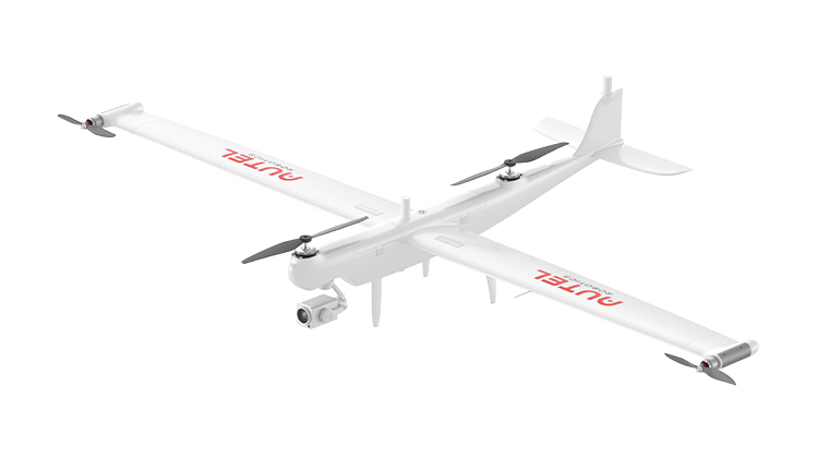
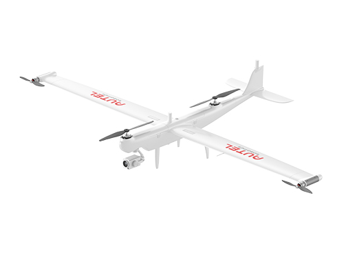
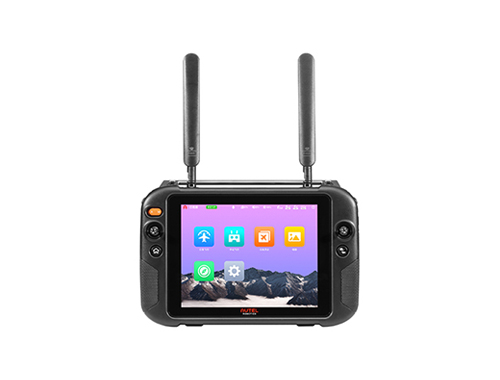
Dragonfish Series
158 Mins Flight Time | 3 Mins Quick Assembly
4K 50x Optical Zoom | 18.6 Miles Transmission Range
Learn More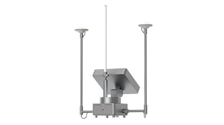
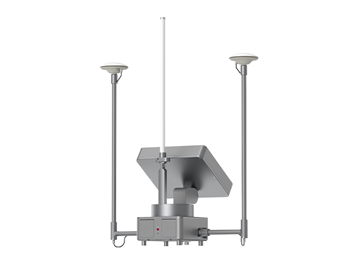
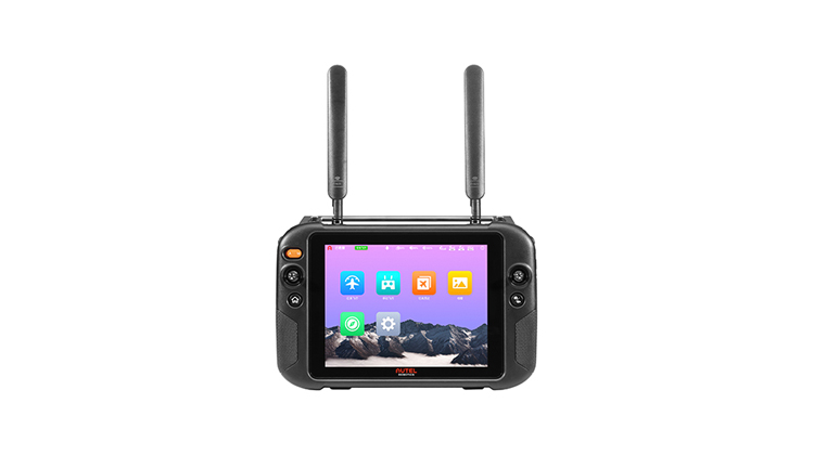
Autel Smart Antenna Transmission (ASAT)
62 Miles Transmission Range | 70Mbps Max Transmission Rate
8.5 Hours Battery Life | Centimeter Level Positioning Capacity
Learn More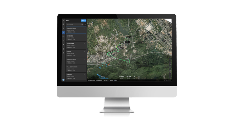
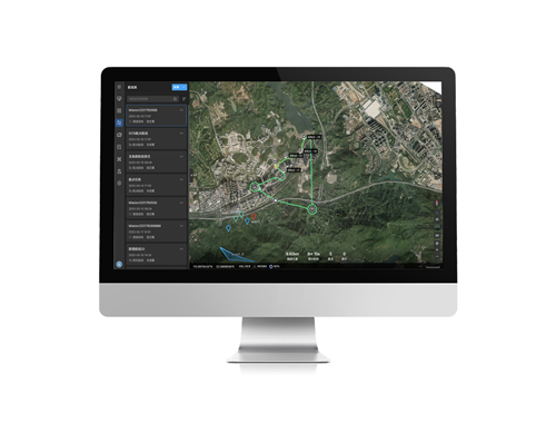
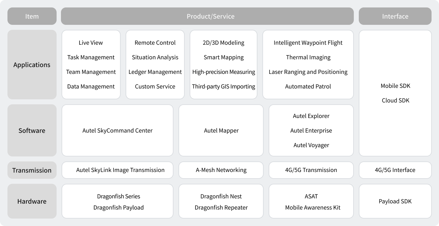
Autel SkyCommand Center
Project And Mission Management | Offline Mesh Network
Multi-Channel Live Streaming | Remote Fleet Control | Data Storage And Analytic
Learn More
Dragonfish Series
158 Mins Flight Time | 3 Mins Quick Assembly
4K 50x Optical Zoom | 18.6 Miles Transmission Range
Learn More
Autel SkyCommand Center
Project And Mission Management | Offline Mesh Network
Multi-Channel Live Streaming | Remote Fleet Control | Data Storage And Analytic
Learn More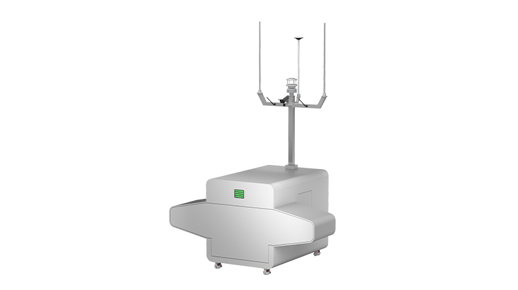
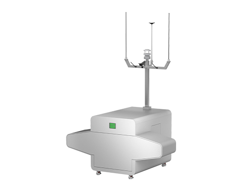
Dragonfish NEST
Auto Takeoff , Landing, And Charging | Weatherproof
Intelligent Data Storage And Processing | Real-time Monitor
Learn More


